Stocktaking study on feasibility of catch and release angling in Rapti to improve conservation activities for aquatic biodiversity
January 7, 2026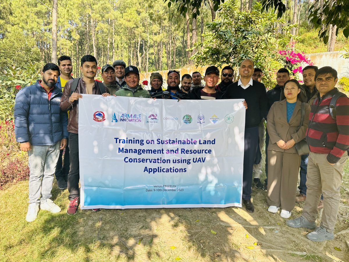
In recent years, the utilization of Unmanned Aerial Vehicles (UAVs), commonly known as drones, has witnessed a remarkable rise across various sectors, particularly in forest management, agriculture, water conservation, and monitoring, reporting, and verification. This technological innovation has not only transformed traditional practices but has also created new avenues for accurate, efficiency, and sustainability in these vital areas.
The challenge of forest degradation presents a significant obstacle in the realm of forest management, with a subtle yet profound impact on the environment. Unlike the more obvious issue of deforestation, forest degradation involves a gradual decline in the quality of the forest while maintaining the same spatial coverage, leading to its subtle decline over extended periods. In the context of Nepal and India, this challenge is further exacerbated by the rugged terrain of mountainous landscapes. Prolonged periods of drought have escalated the frequency and severity of forest wildfires, compounding the difficulties encountered in achieving sustainable landscape management and impacting water sources in mountainous areas. Recognizing the limitations of Remote Sensing (RS) and Geographic Information System (GIS) satellite applications in effectively addressing the intricate challenges posed by forest degradation, deforestation, and the hazards of wildfires, our training program seeks to bridge this gap. We aim to achieve this by harnessing the potential of UAVs.
The training program is designed to cultivate a strong foundational understanding of UAV technology, encompassing an exploration of its components, operational mechanisms, and the diverse potential applications it offers within the domain of forest management, agriculture, and water conservation.
